Disclaimer: This site is not affiliated with the National Hurricane Center, Hurricane Hunters, Storm Prediction Center, or National Weather Service. ALL forecasts herein are the result of my analysis, and I am solely responsible for the content. As ALWAYS, follow the National Hurricane Center, National Weather Service, and your local Emergency Management officials for emergency decisions. In addition, this is strictly a FORECAST OFFICE. I CANNOT make decisions regarding travel plans, etc. My purpose, is to provide you the information, based solely on information I analyze, and the accuracy of the information at hand of the time of analysis, so you may make informed decisions.
(T. F. "Storm" Walsh)
For those who have donated to my site, your help has been greatly appreciated. If you are not aware, donations to my site help pay for subscriptions to sites I use as well as software updates, which provide all the models and information used in my forecasts. To donate, please click the DONATE button to the right side of the page, or on the graphic of the dog. Any help you provide is immensely appreciated!
DONATIONS ACCEPTED AND APPRECIATED


Please be aware, even though I do not post every night, rest assured I am continuously monitoring various areas for any significant weather. I will be taking Sundays off (family time), unless we have active systems that may be posing a threat (i.e. Tropical, Winter Weather, Coastal Storms, etc.).
STORM WALSH PRE-SEASON FORECAST
TOTAL NAMED STORMS: 17 – 20
TOTAL HURRICANES : 7 – 9
MAJOR HURRICANES: 4 – 5
AVERAGE HURRICANE SEASON:
TOTAL NAMED STORMS: 14
TOTAL HURRICANES: 7
MAJOR HURRICANES: 3
2021 SEASON TOTALS:
TOTAL NAMED STORMS: 19
TOTAL HURRICANES: 7
MAJOR HURRICANES: 4
TOTAL U. S. LANDFALLS: 8
The following is the list of storm names for the 2021 Atlantic Hurricane Season:
Ana Bill Claudette Danny Elsa Fred Grace Henri Ida Julian Kate Larry
Mindy Nicholas Odette Peter Rose Sam Teresa Victor Wanda
As a storm becomes named, I will be marking it in bold red to keep track of the activity for this Atlantic season.
Please note…when we are dealing with multiple systems, they will be listed in order as to the greatest threat to land or the U. S. , to the least threat.
Good evening everyone,
The following are satellite animations of the Atlantic basin and Africa
ATLANTIC

AFRICA

SAM IR AND SWIR ANIMATIONS


Hurricane SAM remains a CATEGORY 4 Hurricane on the Saffir – Simpson hurricane wind scale, with maximum winds of 130 mph. As of the 5:00 p.m. EDT advisory from the NHC, the following was available on SAM:
5:00 PM AST Tue Sep 28
Location: 17.9°N 55.0°W
Moving: NW at 9 mph
Min pressure: 947 mb / 27.96 in
Max sustained: 130 mph
SAM was moving slowly toward the NW. Based on my analysis of forecast steering layers, 500 mb heights forecast, and recent model guidance, I have no change on forecast track thinking. SAM should continue to to move around the SW periphery of the sub-tropical ridge, until the trof moving in becomes a strong enough influence to turn SAM more to the NNW then northward. You will note this in the 500 mb height forecast animation. Model track guidance is in good agreement on the forecast track, and I agree with the current NHC forecast track.
NHC TRACKING MAP

ATCF 18Z GUIDANCE

NHC SPAGHETTI PLOTS

500 MB HEIGHT FORECAST

SAM has been affected by some mid level dry air, however this did not seem to interrupt the core. Analysis of SST's in the path of SAM, forecast wind shear and pattern, mid level RH forecast and 200 mb forecast, SAM could re-intensify, and I agree with the NHC in that SAM should remain a category 4 hurricane, for at least the next 72 hours, before slow weakening begins to take place. I currently agree with the NHC intensity forecast.
ECMWF AND GFS WIND SHEAR FORECAST


200 MB FORECAST

CURRENT SHEAR AND UPPER LEVEL WINDS FROM CIMSS


NHC INTENSITY FORECAST
INIT 28/2100Z 17.9N 55.0W 115 KT 130 MPH
12H 29/0600Z 18.6N 55.9W 120 KT 140 MPH
24H 29/1800Z 19.7N 57.4W 115 KT 130 MPH
36H 30/0600Z 21.0N 59.1W 115 KT 130 MPH
48H 30/1800Z 22.8N 60.6W 110 KT 125 MPH
60H 01/0600Z 25.0N 61.6W 110 KT 125 MPH
72H 01/1800Z 27.7N 62.0W 110 KT 125 MPH
96H 02/1800Z 33.5N 59.0W 100 KT 115 MPH
120H 03/1800Z 40.0N 53.5W 90 KT 105 MPH
I will be monitoring the progress of SAM closely during the next 72 hours for any significant changes.
We have 2 more areas that have been designated in the eastern Atlantic...INVEST 90L and INVEST 91L. My focus this evening will be on INVEST 90L. My reasoning in this is, based on analysis of recent satellite loop imagery, INVEST 90L, being the eastern most feature, is obviously the more organized system, and covers a larger area than 91L. Looking at the state of both systems, I believe INVEST 90L will continue to drain energy from 91L, and become the dominant system. Conditions right now over 90L are more conducive at the moment.
91L (LINKED TO NHC SITE)

90L

INVEST 90L SATELLITE LOOP IMAGERY


90L RECENT SHEAR AND UPPER LEVEL WINDS FROM CIMSS


The disturbance was moving to the west as of the 18Z ATCF BTK report. However, based on analysis of forecast steering, a WNW should occur in about 48 hours, however I am going to see how organized 90L becomes by then, before committing to a solid track forecast. Both track and intensity forecast should always be considered low in the formative or initialization stage of a storm. Although this is currently low confidence, given analysis of forecast steering, and the 500 mb heights forecast, this seems plausible at the moment. The following is the most recent guidance at the time of this evenings analysis:
ATCF 90L 18Z TRACK GUIDANCE AND NHC SPAGHETTI PLOTS


Maximum winds at 18Z were reported to be 30 mph, and a central pressure of 1010 mb (29.83 in). The disturbance is currently in a low shear environment with a weak, anticyclonic pattern over the system. Analysis of the CIMSS upper level wind pattern indicates an upper level outflow pattern may be trying to become established. Based on analysis of the ECMWF and GFS shear forecast, 200 mb forecast, and surface to mid level RH forecast, 90L will be in a very favorable environment for continued strengthening. The 18Z SHIPS diagnostic report indicates wind shear is forecast to remain below 15 kts during the next 96 hours. Based on this, 90L should become a Tropical Depression during the next 24 - 48 hours. Based on SHIPS diagnostics and the majority of the intensity guidance models, 90L could become a hurricane during the next 72 hours. Again, this is the initialization phase, however based on the forecast pattern, I cannot rule this out.
ECMWF AND GFS SHEAR FORECAST


RH FORECAST 500 MB

700 - 400 MB AVERAGE RH

200 MB FORECAST

I will continue to monitor INVEST 90L for any significant changes during the next 72 hours.
I will not be issuing a forecast tomorrow evening, as I must work on my website, to clear my images gallery to make space for saving further graphics in upcoming forecasts. I only have 14% of my cache available.
The following map will allow to to get information from your NWS office.
NWS WATCH / WARNING DISPLAY (LINKED…CLICK MAP, THEN YOUR AREA)

WSI DOPPLER RADAR LOOP (LINKED, CLICK RADAR MAP)
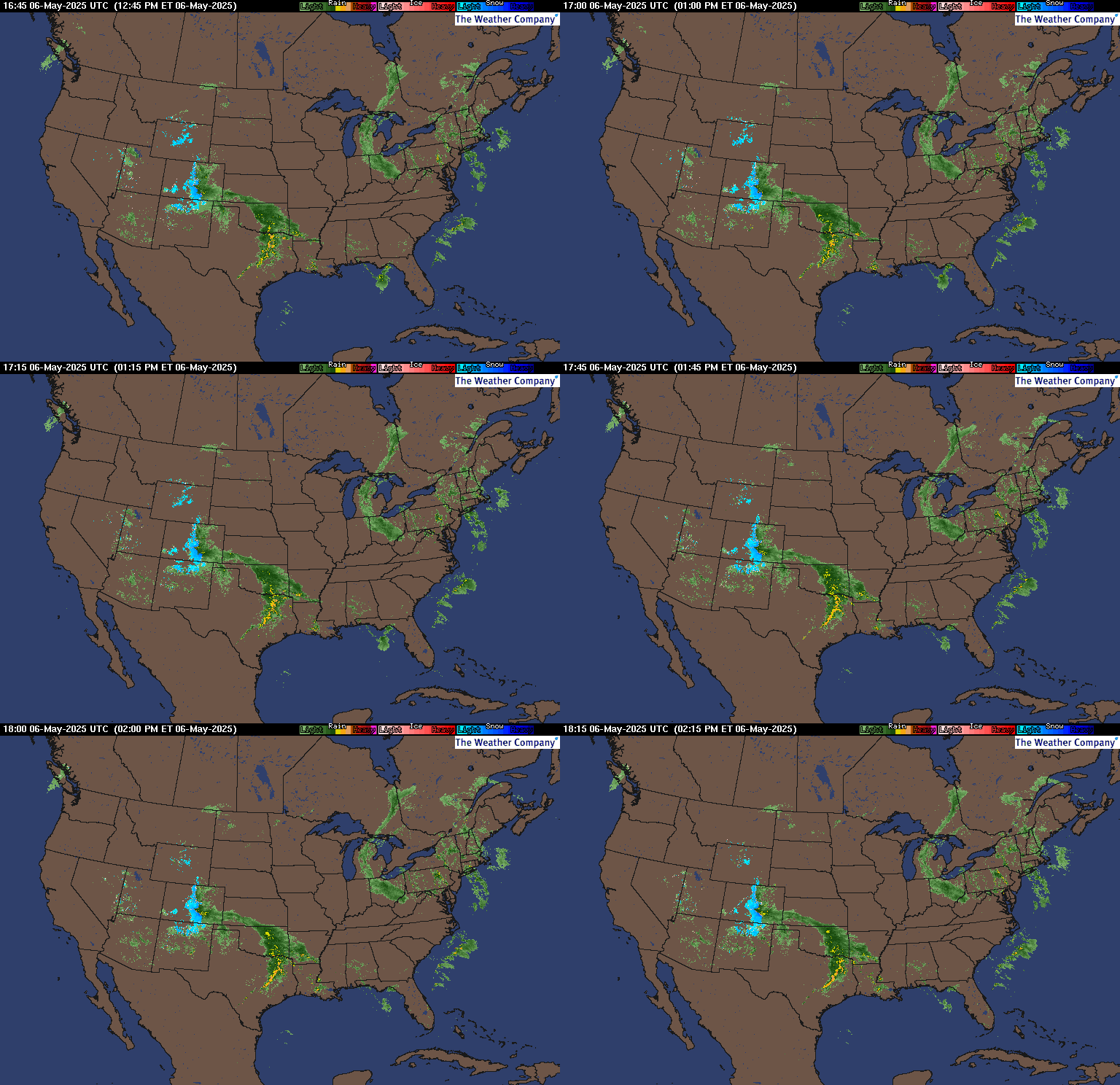
RAP RADAR (CLICK IMAGE THEN RADAR SITE…ONCE YOU CLICK THE SITE, GO TO LOOP DURATION TO CREATE A LOOP)
You may direct any questions by contacting me personally, ANYTIME, at: twalsh22000@yahoo.com
Have a blessed evening!
T. F. "STORM" WALSH III
GMCS, USCG (ret)
METEOROLOGIST / HURRICANE SPECIALIST /SEVERE WEATHER SPECIALIST
MEMBER WEST CENTRAL FLORIDA AMS


 WordPress.com


No comments:
Post a Comment