Disclaimer: This is not affiliated with the National Hurricane Center, Hurricane Hunters, Storm Prediction Center, or National Weather Service. ALL forecasts herein are the result of my analysis, (to which you will see me at times, insert excerpts from various agencies due to the nature of the importance of the information) and I am solely responsible for the content. As ALWAYS, follow the National Hurricane Center, National Weather Service, and your local Emergency Management officials for emergency decisions. In addition, this is strictly a FORECAST OFFICE. I CANNOT make decisions regarding travel plans, etc. My purpose, is to provide you the information, based solely on information I analyze, and the accuracy of the information at hand of the time of analysis, so you may make informed decisions.
(T. F. "Storm" Walsh)
For those who have donated to my site, your help has been greatly appreciated. If you are not aware, donations to my site help pay for subscriptions to sites I use as well as software updates, which provide all the models and information used in my forecasts. To donate, please click the DONATE button to the right side of the page, or on the graphic of the dog. Any help you provide is immensely appreciated!
DONATIONS ACCEPTED AND APPRECIATED


I will reiterate, my forecasts are based on the available information at the time of analysis, and are only as accurate as the information analyzed and the solutions provided.
The outlined maps you were used to seeing from my F5 DATA software, are no longer around and operational. This means I have lost quite a bit of data to analyze but I will try to make the severe weather forecasts as accurate and understandable as possible.
The Storm Prediction Center (SPC), has issued a SLIGHT RISK OF SEVERE THUNDERSTORMS FOR PARTS OF THE MIDDLE MISSISSIPPI VALLEY INTO THE ARKLATEX AND CENTRAL TEXAS...
…SPC SUMMARY…
Widely scattered severe thunderstorms capable of hail and severe gusts are possible from parts of mid Mississippi Valley southwestward into the Ark-La-Tex and central Texas Thursday afternoon and Thursday night.
SPC DAY 2 SEVERE THUNDERSTORM OUTLOOK MAPS (this map linked)

TORNADO

HAIL

Probability of one inch diameter hail or larger within 25 miles of a point.
Hatched Area: 10% or greater probability of two inch diameter hail or larger within 25 miles of a point.
DAMAGING WINDS


Based on my analysis this evening of the SPC DAY 2 Convective Outlook, and severe weather and tornado indices, the main the main threat at the moment appears to be the probability of very large hail and damaging thunderstorm gusts, especially in the southern portion of the risk area over Texas. I am currently basing this on the moderate to high CAPE values, and projected lapse rates. These suggest strong buoyancy and lift in the atmosphere which should allow for strong updrafts. All threats are possible, however in analysis, I do not expect any strong or significant tornado activity to occur per se based on the weaker SRH and wind shear, as opposed to what we have witnessed in previous weeks. The values are enough however, to create rotating supercells. (An isolated incident could always occur based on the stronger value of the STP analyzed). The best probability for tornado activity should lie within the two areas marked in the green 2% outlines by the SPC. THIS DOES NOT however, mean tornadoes cannot occur within the entire SLIGHT risk outline. Storm activity appears to initiate during early afternoon and continue into the early evening hours. Residents within the risk area should monitor NOAA Weather Radio closely, along with their local news and NWS office.
The following forecast indices and parameters were observed in analysis this evening for the risk area. Depending on how exactly the situation develops, and degree of daytime heating, these values CAN change between now and the 12Z model run:
SBCAPE: 1500 – 3000 j/kg-1
MLCAPE: 1000 – 3500 j/kg-1
MUCAPE: 1500 – 3000 j/kg-1
SRH: 100 – 200 m2/s2
L. I.: -1 to -7
MOST UNSTABLE L. I.: -1 to -7
STP: 1 to 3
SCP: 1 to 8
0 – 6 km SHEAR: 30 – 40 KTS
EFF. SHEAR: 30 – 40 KTS
MID LEVEL LAPSE RATE: 7.0 – 7.5C
DEWPOINT: 60F – 73F
STP ( Significant Tornado Parameter) EXPLAINED:
A majority of significant tornadoes (EF2 or greater damage) have been associated with STP values greater than 1, while most non-tornadic supercells have been associated with values less than 1 in a large sample of RAP analysis proximity soundings.
SCP (Supercell Composite Parameter) EXPLAINED:
A multiple ingredient, composite index that includes effective storm-relative helicity (ESRH, based on Bunkers right supercell motion), most unstable parcel CAPE (muCAPE) and convective inhibition (muCIN), and effective bulk wind difference (EBWD). Each ingredient is normalized to supercell "threshold" values, and larger values of SCP denote greater "overlap" in the three supercell ingredients. Only positive values of SCP are displayed, which correspond to environments favoring right-moving (cyclonic) supercells.
The following sites will explain most of these values, and will give you an idea of what to expect:
ENVIRONMENTAL INDICES AND PARAMETERS NWS
https://www.weather.gov/lmk/indices
THE WEATHER PREDICTION
http://www.theweatherprediction.com/severe/indices/
Please visit the SPC main site at the following link for tomorrow's activity:
SPC HOMEPAGE LINK
https://www.spc.noaa.gov/classic.html
The following are animations of both the SCP and STP currently for tonight, however slight changes are possible between now and tonight's model run. The animation runs from 1:00 p.m. to 10:00 p.m. CDT. The greater the value, the greater the risk a strong tornado to an area.
NAM MODEL SCP FORECAST

NAM MODEL STP FORECAST
 Please visit my site again for the severe event to use the following maps, which should update automatically, for Mesoscale Discussions and Convective Watches. You may have to refresh your browser, or click on the graphics. I have provided the SPC homepage link above, so you may get the updated information regarding any changes to the outlook:
SPC MESOSCALE DISCUSSIONS (CLICK IMAGE FOR UPDATES)

SPC CONVECTIVE WATCHES (CLICK IMAGE FOR UPDATES)

IF A TORNADO WARNING IS ISSUED FOR YOUR AREA, IMMEDIATELY TAKE STURDY AND SAFE SHELTER
The following NWS Watch / Warning map will provide local NWS information for your area. Click the image, then once it refreshes, click on your area of interest to view any special weather statements, hazards or advisories for your area.
NWS WATCH / WARNING DISPLAY (LINKED…CLICK MAP, THEN YOUR AREA)

WSI DOPPLER RADAR LOOP (LINKED)
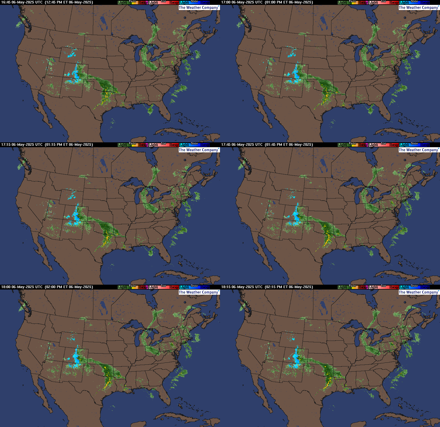
RAP RADAR (CLICK IMAGE THEN GO TO LOOP DURATION AND PICK LENGTH OF LOOP, THEN CLICK RADAR SITE)
You may direct any questions by contacting me personally, ANYTIME, at: twalsh22000@yahoo.com
Have a blessed evening!
T. F. "STORM" WALSH III
GMCS, USCG (ret)
METEOROLOGIST / HURRICANE SPECIALIST /SEVERE WEATHER SPECIALIST


No comments:
Post a Comment